
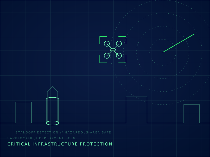
Threat profile
Reconnaissance flights mapping security and layout; payload-carrying drones threatening flammable or high-value process areas; interference with operations from repeated nuisance flights.
Recommended layered architecture
| Layer | How it works on this site type |
|---|---|
| Detect | Radar and passive RF cover tank farms, flare zones, and substations from standoff positions outside hazardous areas. |
| Identify | EO/IR confirmation distinguishes drones from birds and site helicopters before any action. |
| Track | UB-C2 fuses sensors into the plant security system and logs events for regulators and insurers. |
| Defeat | GNSS deception and directional jamming redirect drones to safe landing zones; broadband jamming is avoided where it could affect plant instrumentation. |
Recommended product mix
- UB-RD Series Ku-Band Drone Detection Radar
- UB-RF Series RF Drone Detection And Direction Finder
- UB-GS Series GPS Spoofing Decoy Device
- UB-C2 Counter-UAV Command Platform
Deployment notes
Sensors and effectors are placed outside ATEX/IECEx hazardous zones wherever possible; any in-zone hardware is reviewed against the site hazardous-area classification. Fiber links connect remote nodes to the control room.
Compliance note
Deployments follow the site's hazardous-area rules, the national spectrum authority, and critical-infrastructure security regulation. Insurance and regulator reporting templates are part of the handover package.
Site adaptation for Global
Deployments are configured around the protected site: perimeter length, approach directions, existing security systems, and local spectrum rules.
| Site power | AC 110-240 V, 50/60 Hz site power, with DC vehicle and battery options by model |
|---|---|
| Documentation | Export-control review and end-user documentation are completed before quotation |